This news
To follow our news:
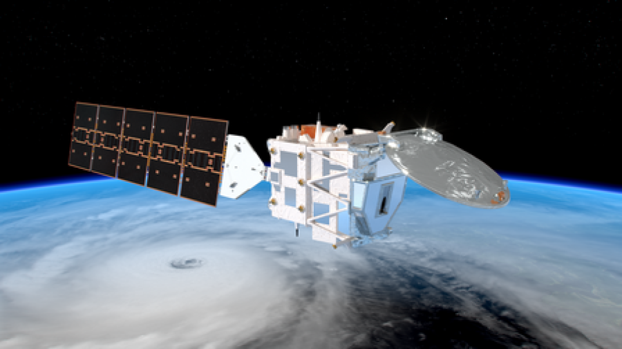
EarthCARE: A Precious Asset to Understand Climate Extremes
The series of storms that brought intense rainfall and flooding to southern Europe in early 2026 illustrate how extreme weather is becoming more frequent in a warming climate. In this context, data from the European Space Agency’s EarthCARE (Earth Clouds, Aerosols and Radiation Explorer) mission are proving especially valuable to analyse the atmospheric processes behind such events and to optimise resilience against climate-driven hazards.
On February 4th, EarthCARE recorded the extent of one of the recent storms named Leonardo. The satellite also uncovered the storm’s internal structure from cloud structure to the intense rain falling on the ground.
Developed in close cooperation with JAXA, the Japanese Space Agency, and launched in May 2024 as part of ESA’s Living Planet Programme, EarthCARE was specifically designed to improve our understanding of the interactions between clouds, aerosols and radiation - the key factors influencing Earth’s climate system.
Beyond immediate disaster monitoring, EarthCARE’s detailed observations feed directly into climate and weather forecasting models which go along with better early warning systems, more accurate flood risk assessments and improved crisis response planning.
Behind the scientific achievements of EarthCARE lies a robust data infrastructure, to which SPACEBEL is bringing our expertise in terms of space data access and management with the development of ESA’s EO-CAT server. This Common Services Earth observation catalogue based at ESRIN manages access to and discovery of all EarthCARE and other Earth Explorer mission data. The platform ensures that vast volumes of satellite observations are efficiently stored, indexed and made accessible to scientists, meteorological agencies and policymakers.
In addition, SPACEBEL has been involved in onboard data handling software developments of the EarthCARE satellite. Our embedded participation concerns the EarthCARE Mass Memory and Formatting Unit, i.e. a high capacity data processing, storage and formatting device featuring a fast downlink of the satellite’s payload datasets.
↓ Read the full story on EarthCARE revealing the rainfall behind the recent floods in the Iberian peninsula. ↓
@ESA-ATG medialab